UKRAINE 1749 ROBERT DE VAUGONDY 18e CENTURY ANTIQUE ENGRAVED MAP
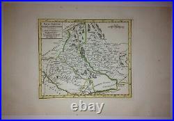
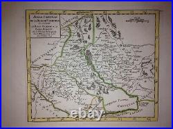
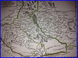
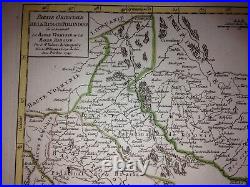
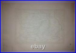

"PARTIE ORIENTALE DE LA RUSSIE POLONOISE ou se trouvent La Basse Volhynie et la Basse Podolie &c Par le Sr Robert de Vaugondy, Fils de Mr ROBERT, Géographe ord du Roi A Pr 1749". Robert de Vaugondy, grandson of Nicolas Sanson, famous geograph of the 17th Century, became geographe of the King Louis XV. Size with margins : 35 x 23 cm / 13,7 x 9 inches. Condition : good condition, antique colors, large margins.
Edition : Paris, 1749, XVIIIe Century. WE DON'T SELL LASER AND COPIES MAPS, ALL WE SELL IS ORIGINAL AND ANTIQUE. Due to the age an type of paper, some imperfections are to be expected. Please examine the images provided carefully, and if you have any questions please ask and we will be happy to help you.
