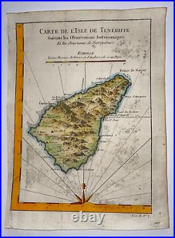
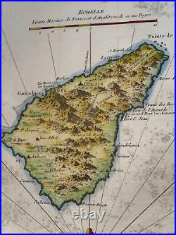
Tenerife Canary Island Spain 1746 Nicolas Bellin Antique Sea Chart 18th Century


"CARTE DE L'ISLE DE TENERIFFE Suivant les Observations Astronomiques et les Journaux de Navigateurs". Size with margins : 23,5 x 16,8 cm / 9 x 6,2 inches. Condition : good condition, small marks, a part of the left margin redone, handed colored.
Edition : Paris, 1746 , 18th Century. WE DON'T SELL LASER AND COPIES MAPS, ALL WE SELL IS ORIGINAL AND ANTIQUE. Due to the age an type of paper, some imperfections are to be expected. Please examine the images provided carefully, and if you have any questions please ask and we will be happy to help you.
