STAFFORDSHIRE 18th Century Map Of Staffordshire Large Wall Hanging. Antique
STAFFORDSHIRE 18th Century Map Of Staffordshire Large Wall Hanging. Antique

STAFFORDSHIRE 18th Century Map Of Staffordshire Large Wall Hanging. Antique
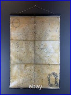
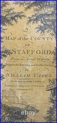
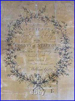
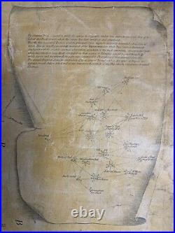
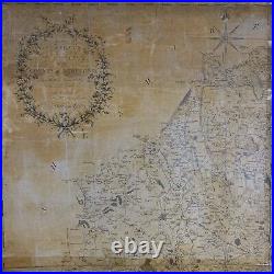
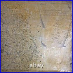
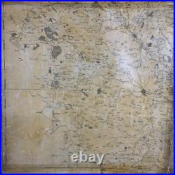
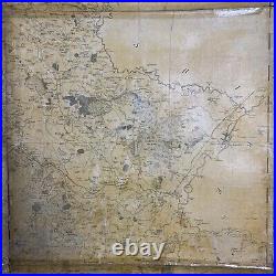
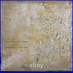
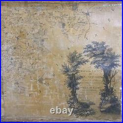
A map of the county of Stafford from an actual survey - begun in the year 1769 and finished in 1775 by William Yates. Published according to act of parliament, November the 7th 1775.

1050mm Wide x 1545mm High. Item shows signs of age and use, which adds character and charm. Please browse our other antique, vintage, retro and collectable items.


STAFFORDSHIRE 18th Century Map Of Staffordshire Large Wall Hanging. Antique