SPECTACULAR WALL MAP OF PARIS FRANCE 1877 Victor CLEROT 54 x 39 19TH CENTURY
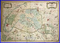


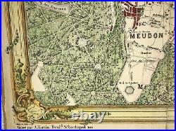
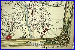

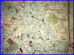
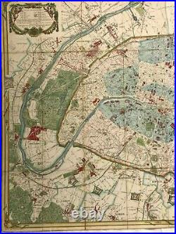
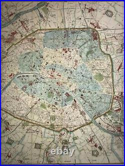


NOUVEAU PLAN GEOMETRIQUE DE PARIS et ses Environs, Dressé par V. CLEROT, Géographe, Corrigé et complèté d'après le Plan Officiel de la Ville de Paris publié en 1875, et revu conformément à l'Arrêté Préfectoral du 10 Novembre 1873 et du 5 Avril 1875. EN VENTE A PARIS QUAI MALAQUAIS 23, 1877. Ce plan a été dressé d'après les Documents Officiels les plus Nouveaux, Publiés par l'Administration Municipale de la Ville de Paris, pour les Communes Environnantes, les Plans du Cadastre et les propres levés de l'Auteur.
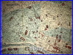
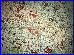
Rues en cours d'Exécution ou décrétées. The map is decorated with 2 nice cartouches in upper side. The map is showing the churches, the city halls, the schools, the windmills, the quarries, the houses, the railways, the grade crossing, the passages under and upper, the altitude above the sea, the borders of the communes, the streets executed after 1852, the streets in progress or decreted. Very rare map, not present in the Bibliothèque Nationale de France. Size with margins: 139 x 100 cm / 54,7 x 39,3 inches Condition: very good condition, on a strong cardboard, old colors Edition: XIXe century, dated 1877, Paris.
A Certification of Authenticity can be issued on request. View our Other Items For Sale. WE DON'T SELL LASER AND COPIES MAPS, ALL WE SELL IS ORIGINAL AND ANTIQUE. Due to the age an type of paper, some imperfections are to be expected. Please examine the images provided carefully, and if you have any questions please ask and we will be happy to help you.
