Scandinavia 1780 Rigobert Bonne Antique Map In Colors 18th Century
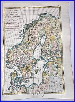
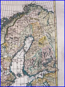
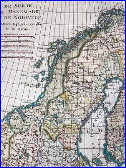
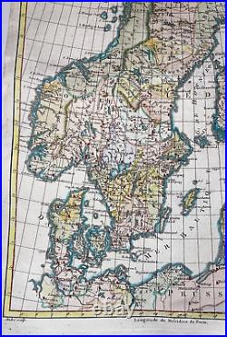

LES ROYAUMES DE SUEDE, DE DANEMARK, ET DE NORWEGE, Par M. Bonne, Ingénieur-Hydrographe de la Marine. In 1773, Bonne succeded to Jacques-Nicolas Bellin as Royal Cartographer to France.
In the office of the Hydrographer at the Depôt de la Marine. Bonne produced some of the most detailed and accurate maps of the period.
Bonne died in 1794, his son Charles-Marie Rigobert Bonne continued to publish his work after his death. Size with margins: 37,5 x 27,5 cm / 14,5 x 10,6 inches. Very good condition, in colors.
WE DON'T SELL LASER AND COPIES MAPS, ALL WE SELL IS ORIGINAL AND ANTIQUE. Due to the age an type of paper, some imperfections are to be expected. Please examine the images provided carefully, and if you have any questions please ask and we will be happy to help you.