POLAND 19e CENTURY ROBERT DE VAUGONDY ANTIQUE COPPER ENGRAVED MAP
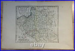
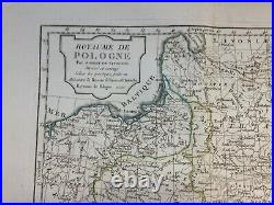
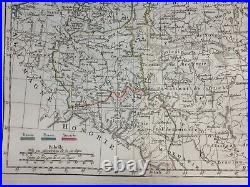
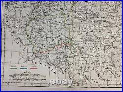
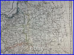

"ROYAUME DE POLOGNE, Par Robert de Vaugondy, Divisé et corrigé selon les partages faits en 1815, entre la Russie la Prusse et l'Autriche Royaume de Pologne". Detailed antique copper engraved map of Poland, by Robert de Vaugondy. Condition: very good condition, old colors, large margins, on strong paper. Size with margins: 46,5 x 31,5 cm / 18,1 x 12,2 inches. WE DON'T SELL LASER AND COPIES MAPS, ALL WE SELL IS ORIGINAL AND ANTIQUE.
Due to the age an type of paper, some imperfections are to be expected. Please examine the images provided carefully, and if you have any questions please ask and we will be happy to help you.
