Paris 1797 Robert De Vaugondy & Delamarche Very Large Antique Map
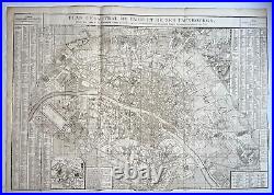

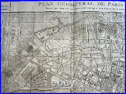
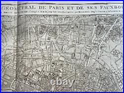
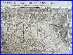
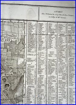
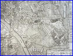
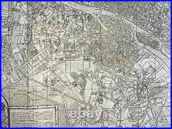
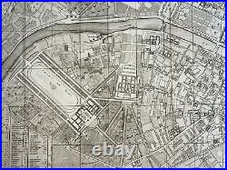
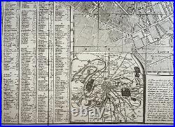
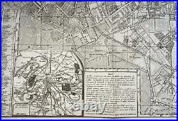
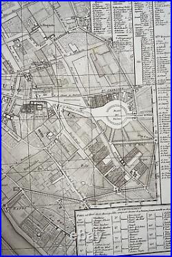
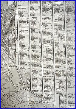

"PLAN GEOMETRAL DE PARIS ET DE SES FAUXBOURGS, dressé par ROBERT DE VAUGONDY, Corrigé et étendu jusqu'aux nouvelles Limites, par DELAMARCHE, Geog et Successeur de Vaugondy, An 1797". Large antique copper engraved map of Paris and its suburbs, France. This map shows in beautiful detail the river Seine and its bridges, built up urban areas, parks and notable areas, as well as major roadways, and various departments. Some places were renamed to the Revolution, like the Place de la Concorde, named place Louis XV before the Revolution, and here called place de la Revolution. The place des Vosges is again named place Royale, it will not bear its current name until 1800. With alphabetical table of streets and list of 12 municipalities. In the lower left is a map of the department of the Seine, created on January 27, 1790, and which included Paris and the current departments of Hauts-de-Seine, Seine-Saint-Denis and Val-de-Marne. In 1757, Gilles and Didier Robert de Vaugondy published "The Atlas Universel", one of the most important atlases of the 18th century. To produce the atlas, the Vaugondy's integrated older sources with more modern surveyed maps. In 1760, Didier Robert de Vaugondy was appointed geographer of the king Louis XV. Gilles often signed maps as "Robert, while Didier commonly signed his maps as "Robert de Vaugondy", or added "fils" or "filio after his name. Size with margins : 96 x 68 cm / 37,7 x 26,7 inch. Good condition, on strong paper.
Paris, dated 1797, 18th century. A Certification of Authenticity can be issued on request.
WE DON'T SELL LASER AN. D COPIES MAPS, ALL WE SELL IS ORIGINAL AND ANTIQUE. Due to the age an type of paper, some imperfections are to be expected.
Please examine the images provided carefully, and if you have any questions please ask and we will be happy to help you.