Paris 1705 France Nicolas De Fer Rare Antique Engraved City Map 18th Century
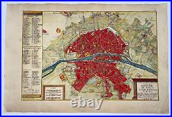
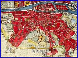
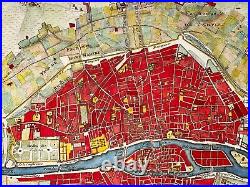
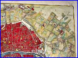
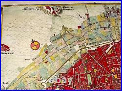
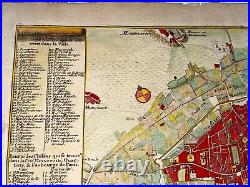
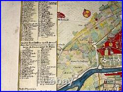
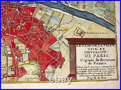


LE PLAN DE LA VILLE, CITE, ET UNIVERSITE DE PARIS Capitale du Royaume de France. Située à 48 degrez 51 minutes de Latitude septentrionale et à 20 degrez 20 minutes de Longitudinale, Suivant les Dernieres Observations de Mrs de l'Academie Royale des Sciences par N de Fer.
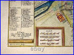
"A PARIS Chez l'Auteur dans l'Isle du Palais a la Sphere Royalle Avec Privilege du Roy 1705". From L'Atlas Curieux ou le Monde représente dans des Cartes Générales et particulières du Ciel et de la terre Divisée tant en ses quatre Principales Parties que par Estats et provinces...
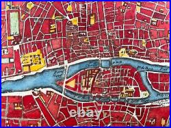
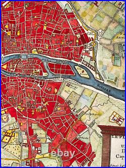
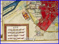
De Fer, Géografe de Monseigneur le Dauphin... Dédié à Nos seigneurs les Enfants de France... A Paris chez l'auteur dans l'Isle du Palais. De Fer has realised 8 plans to describe the evolution of history of Paris. This one describes Paris under Louis XIV. With 20 very dense neighbourhoods. The walls have been replaced by walks planted with trees. The street maze is even more marked. On the south-west side, the city developed very well, up to the Invalides which were then built. On left side, a table of the main edifices listed by numbers and letters. His earliest wellknown map of the canal de Languedoc, realised in 1669. De Fer has created this map when he was in service of the King of France Louis XIV.In 1697, he published his first world atlas. In 1695, De Fer, with several other notable French mapmakers, became founding contributors to the French Bureau of Maps and Plans. This bureau, created to deal with the technical and strategic problems of overseas commerce and exploration, was part of the Royal Academy of Sciences and Ministry of the Navy and Colonies.
Size with margins : 39,7 x 26,5 cm / 15,3 x 10,2 inches. Condition : very good condition, in colors, large margins.
WE DON'T SELL LASER AND COPIES MAPS, ALL WE SELL IS ORIGINAL AND ANTIQUE. Due to the age an type of paper, some imperfections are to be expected. Please examine the images provided carefully, and if you have any questions please ask and we will be happy to help you.