Netherlands 1788 Guillaume Delisle /dezauche Large Antique Map 18th Century
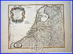
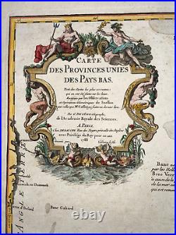
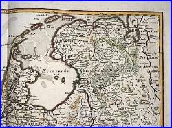
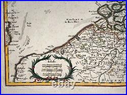
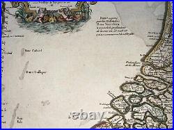
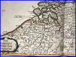
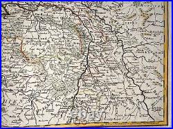
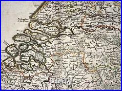
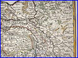
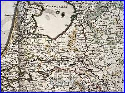

CARTE DES PROVINCES UNIES DES PAYS BAS..... This interesting Delisle's map of the Low Countries shows hundreds of towns, villages, churches, rivers, marshes and roads. A beautifully engraved title cartouche in the upper left, engraved by Liebaux fils, names Cassini and Snellius as contributors to this edition and is adorned with mythological and allegorical figures, including Neptune, Mercury, and putti fishing with a net. 5 x 55,2 cm / 29,9 x 21,6 inches.
Condition : very good condition, large margins, on strong paper. Edition : Paris, 18th Century, by Dezauche & Buache, dated 1788. A Certification of Authenticity can be issued on request.WE DON'T SELL LASER AND COPIES MAPS, ALL WE SELL IS ORIGINAL AND ANTIQUE. Due to the age an type of paper, some imperfections are to be expected. Please examine the images provided carefully, and if you have any questions please ask and we will be happy to help you.
