Netherlands 1748 Homann Heirs Large Antique Map 18th Century
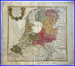
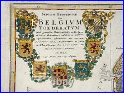
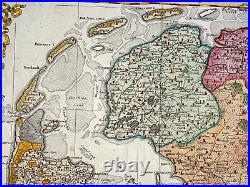
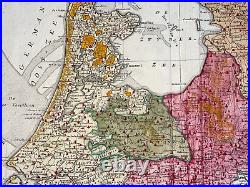
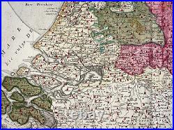
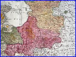

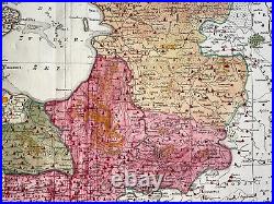
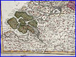
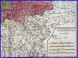
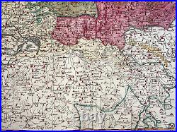
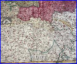

Septem Provinciae seu BELGIUM FOEDERATUM quod generaliter HOLLANDIA... 1748 Cum Privil Sac Coes Majest. Large antique copper engraved map of the Low Countries, by HOMANN Heirs.
The map depicts the Low Countries, with 7 coats of arms of Geldern, Holland, Zeeland, Utrecht, Friesland, Ober Issel and Groningen, in the title cartouche. Johann Baptist Homann was the most prolific map publisher of the 18th Century. He founded his company in 1702. In 1705, he became the Geograph of the Emperor Charles VI.
In the same year, he was also Member of the Prussian Academy of Sciences in Berlin. They protected the authors in all scientific fields such as printers, copper engravers, map makers and publishers. In 1716 Homann published his "Grosser Atlas ueber die ganze Welt" (Grand Atlas of all the World).Some maps were drawned with the engraver Christoph Weigel the Elder. He was succeeded by the Homann heirs company, which was in business until 1848. Size with margins : 52,5 x 62,5 cm / 20,4 x 24,4 inches. A Certification of Authenticity can be issued on request.
