LORRAINE FRANCE 1730 Matthias SEUTTER LARGE ANTIQUE MAP 18TH CENTURY
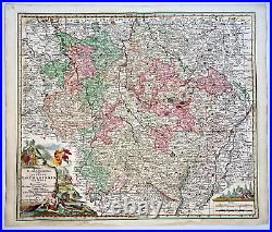
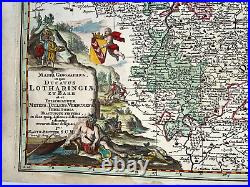
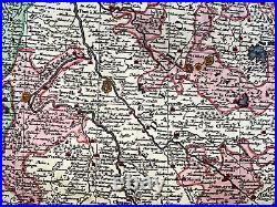
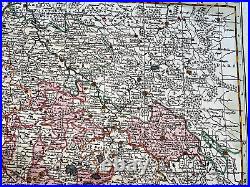
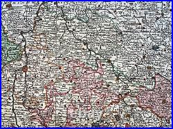
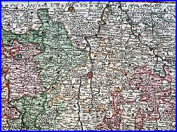
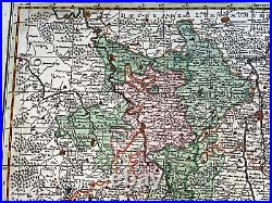
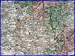
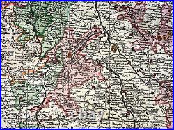
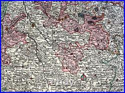
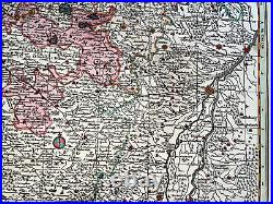
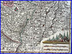
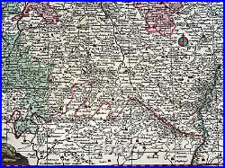

MAPPA GEOGRAPHICA in qua DUCATUS LOTHARINGIAE ET BARR ut et Episcopatuum Metens Tullens Verdunens Territoria Tractusque Finitimi in suos quiq ditiones disterminati sistuntur accuratissime designati per MATTH. The map is very detailed with major cities rivers. The map extends from St Dizier in west to Brisach and Strasbourg in east with Metz, Toul Nancy in the center.
A large and decorative cartouche, showing people bringing cheese out of a cave, as well as hunting and making wine. The scale cartouche has a cherub busily making maps. Matheus SEUTTER began his career as an apprentice under tutelage of JB Homann. Then, he left Homann to establish his own independent cartographic publishing firm in Augsburg.He was one of the most prolific publishers of his time and was honored by the German Emperor Charles VI, with the title of "Imperial Geographer". Size with margins : 63 x 53,3 cm / 24,8 x 20,8 inches. Small tears in the lower margin, well engraved, on strong paper. WE DON'T SELL LASER AND COPIES MAPS, ALL WE SELL IS ORIGINAL AND ANTIQUE.
Due to the age an type of paper, some imperfections are to be expected. Please examine the images provided carefully, and if you have any questions please ask and we will be happy to help you.
