J ARCHER ANTIQUE MAP OF KENT 19th century Victorian c. 1840s. Hand coloured
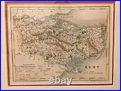
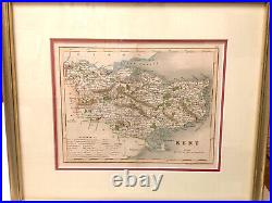
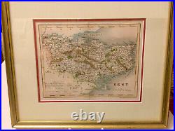
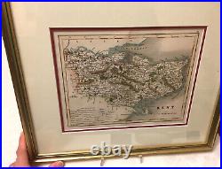
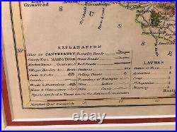
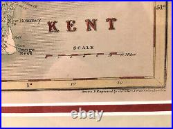
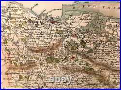

J ARCHER ANTIQUE MAP OF KENT 19th century Victorian c. Hand coloured An attractive and detailed mid 19th century map of Kent which was drawn and engraved by Joshua Archer and published in Thomas Dugdale's Curiosities of Great Britain. This is an original steel engraving with later hand colour.
Printed area is approximately 23.5 by 17.7 cm. The map is in very good condition with decent margins; centrefold, as issued. Drawn and engraved by J.
Archer, Pentonville, London 19th century Victorian era Framed and matted, with glass Map: H 177mm x W 235mm Frame: H 390mm x 330mm KENT, Drawn & Engraved by J. The work was re-issued a number of times until 1860. James Barclay and finally in Tallis's topographical dictionary of England & Wales in 1860.
