J ARCHER ANTIQUE MAP OF KENT 19th century Victorian c. 1840s. Hand coloured
J ARCHER ANTIQUE MAP OF KENT 19th century Victorian c. 1840s. Hand coloured

J ARCHER ANTIQUE MAP OF KENT 19th century Victorian c. 1840s. Hand coloured
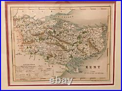
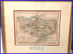
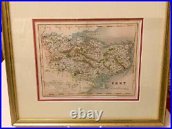
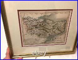
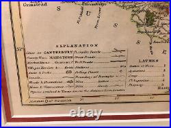
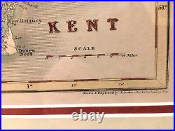
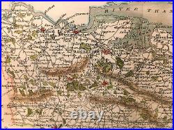
J ARCHER ANTIQUE MAP OF KENT 19th century Victorian c. An attractive and detailed mid 19th century map of Kent which was drawn and engraved by Joshua Archer and published in Thomas Dugdale's Curiosities of Great Britain.
J ARCHER ANTIQUE MAP OF KENT 19th century Victorian c. 1840s. Hand coloured