Ile D'yeu Vendee 1829 Very Large Antique Sea Chart 19th Century
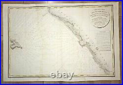
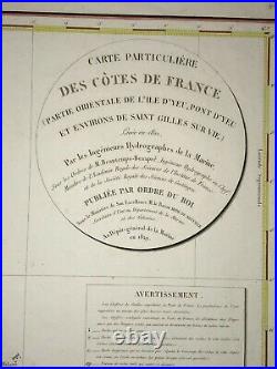
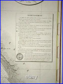
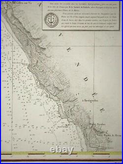
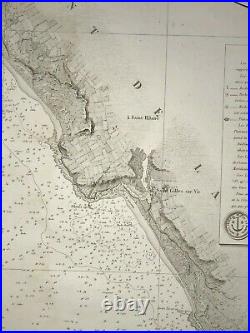
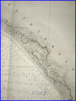
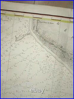
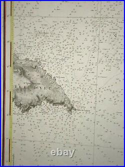


CARTE PARTICULIERE DES COTES DE FRANCE PARTIE ORIENTALE DE L'ILE D'YEU, PONT D'YEU ET ENVIRONS DE SAINT GILLES SUR VIE Levée en 1822, Par les Ingenieurs Hydrographes de la Marine, Sous les ordres de M. Beautemps-Beaupré Ingénieur hydrographe en chef, Membre de l'Académie Royale des Sciences de l'Institut de France PUBLIEE PAR ORDRE DU ROI Sous le Ministère de Son Excellence M. Le Baron Hyde de Neuville, Secréatire d'état du département de la Marine et des Colonies, Au Dépot-général de la Marine en 1829. Very large antique sea chart depicting the coasts of a part of Vendée with St Gilles sur Vie, modern day St Gilles-Croix-de-Vie, and Ile d'Yeu (France), lithographed by Michel, from Depot General de la Marine.
Size with margins : 95 x 64 cm / 37,4 x 25,1 inches. A smooth aureol in center, handed colored.
Edition : Paris, dated 1829 , Depot de la Marine, 19th Century. The Depot de la Marine, also named as Depot des cartes et plans de la Marine, was the official institution of maps in F. This institution was the contributor of the knowledge in France about marine and navigation. Most of mapmakers worked for it, as Nicholas Bellin, Buache, Bauche, Bonne and Beautemps-Beaupré. Epot became in 1806 the Naval Hydrographic service, and still exists today with the name SHOM (service hydrographique et océanographique de la marine).
We send maps by DHL. WE DON'T SELL LASER AND COPIES MAPS, ALL WE SELL IS ORIGINAL AND ANTIQUE. Due to the age an type of paper, some imperfections are to be expected. Please examine the images provided carefully, and if you have any questions please ask and we will be happy to help you.
