Iceland 1747 Nicolas Bellin Nice Large Antique Map 18th Century
Iceland 1747 Nicolas Bellin Nice Large Antique Map 18th Century

Iceland 1747 Nicolas Bellin Nice Large Antique Map 18th Century

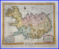
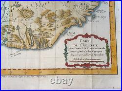
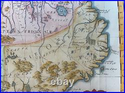
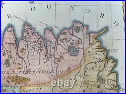
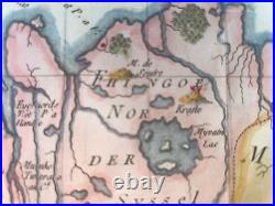
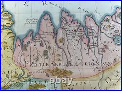
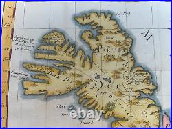
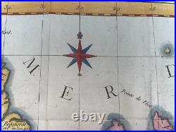
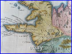
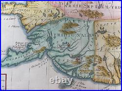
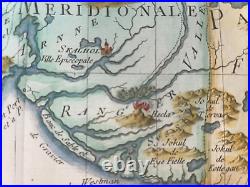
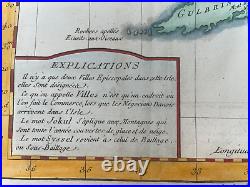
"CARTE DE L'ISLANDE Pour servir à la Continuation de l'Histoire Générale des Voyages, Dressée sur celle de Horrebows". The map is divided in four regions: partie occidentale, partie septentrionale, partie méridionale and partie orientale. Skalhol and Holum are named "ville episcopale". A lot of moutains and rivers are represented on the map. Size with margins : 41 x 33 cm / 16,1 x 12,9 inches.

Condition : very good condition, a small part of left margin extended, in colors. Edition : From Histoire Générale des Voyages by abbé Prévost, Paris, 1747 , 18th century.

We send maps by DHL. WE DON'T SELL LASER AND COPIES MAPS, ALL WE SELL IS ORIGINAL AND ANTIQUE. Due to the age an type of paper, some imperfections are to be expected. Please examine the images provided carefully, and if you have any questions please ask and we will be happy to help you.


Iceland 1747 Nicolas Bellin Nice Large Antique Map 18th Century