France Post Roads 1632 Nicolas Sanson Large Antique Map 17th Century
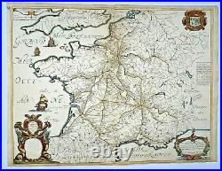
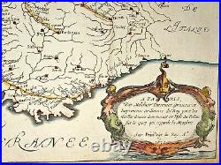
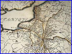
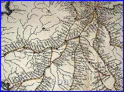
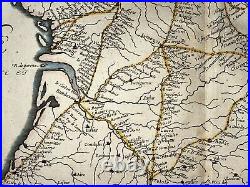
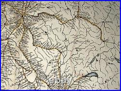
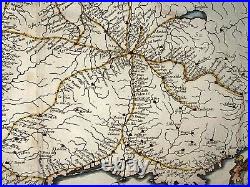


Carte Geographique des Postes qui traversent la France Dediée. A PARIS, Par Melchior Tavernier, Graveur et Imprimeur ordinaire du Roy pour les Tailles douces demeurant en l'Isle du Palais sur le quay qui regarde la Megisserie Avec Privillege du Roy A 1632. The author represented the routes between the major centres of the time: Paris, Lyon, Rouen, Toulouse, Bordeaux and Limoges.
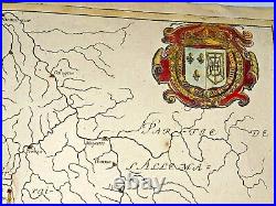
To the right of the map, Tavernier explains that Nicolas Sanson executed the map at his request. It was so successful that it was soon copied by another geographer, Nicolas Berey. Then it was updated and reissued by the sons of Sanson in 1676. At the top right are the coat of arms of the King Louis XIII. Sanson was the first mapmaker of the golden age of French cartography and his maps are prized for their exacting standards and attractive qualities.
Born in Abbeville, active from 1627. Nicolas Sanson d'Abbeville was to bring about the rise of French cartography, although the fierce competition of the Dutch would last until the end of the century.
His success was partly owing to the partnership with the publisher Pierre Mariette. In 1657 Pierre Mariette died, however his son, also named Pierre, co-published Les Cartes Générales de toutes les parties du Monde the following year.
It was the first folio French produced world atlas. Edition : Paris, chez Melchior Tavernier, 1632, 17th Century.55,5 x 43 cm / 21,6 x 16,9 inches. Very good condition, handed colored. We send maps by DHL. WE DON'T SELL LASER AND COPIES MAPS, ALL WE SELL IS ORIGINAL AND ANTIQUE.
Due to the age an type of paper, some imperfections are to be expected. Please examine the images provided carefully, and if you have any questions please ask and we will be happy to help you.
