France Map Of Rivers 1641 Nicolas Sanson Large Antique Map 17th Century
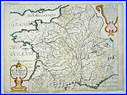
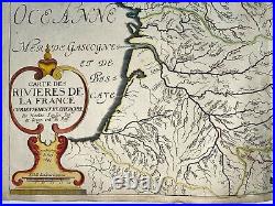
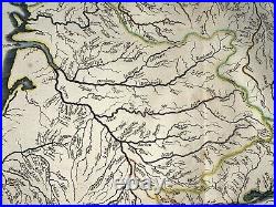
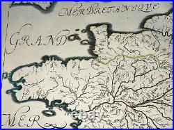
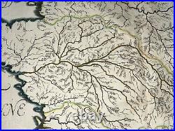
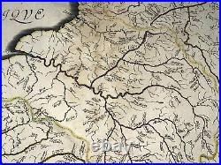
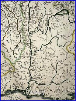
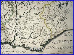
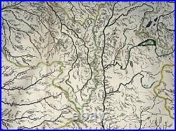
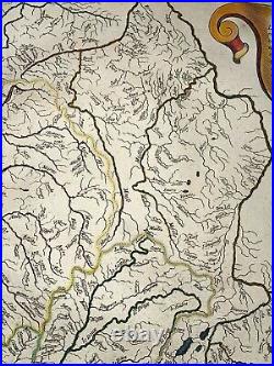

"CARTE DES RIVIERES DE LA FRANCE Curieusement Recherchée par Nicolas Sanson Ing & Geogr ord du Roy Avec Privilege du Roy 1641". The concept of hydrological mapping was unknown at the time of the publication of this map, and we were unable to find an earlier example of a map that shows as well the rivers of France. Crossing points are also shown for the rivers which would have proved important for understanding the defensive capabilities of various regions.
The 5 important rivers (Seine, Loire, Rhone, Rhin, Garonne) are represented in different colors. The map extends from southern England, Flanders, Switzerland, and northern Italy.
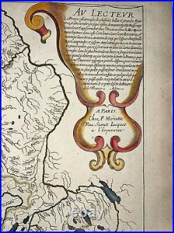
In upper right side, some text explains the purpose of this map. Sanson defends his map as exactingly precise, and states that many of the rivers found here are unlikely to be found on national or even regional maps. Sanson was the first mapmaker of the golden age of French cartography and his maps are prized for their exacting standards and attractive qualities. Born in Abbeville, active from 1627. Nicolas Sanson d'Abbeville was to bring about the rise of French cartography, although the fierce competition of the Dutch would last until the end of the century.
His success was partly owing to the partnership with the publisher Pierre Mariette. In 1657 Pierre Mariette died, however his son, also named Pierre, co-published Les Cartes Générales de toutes les parties du Monde the following year. It was the first folio French produced world atlas.
Edition: Paris, chez Pierre Mariette, 1641, 17th Century. 57 x 42,5 cm / 22,4 x 16,5 inches.Very good condition, handed colored. We send maps by DHL. WE DON'T SELL LASER AND COPIES MAPS, ALL WE SELL IS ORIGINAL AND ANTIQUE.
Due to the age an type of paper, some imperfections are to be expected. Please examine the images provided carefully, and if you have any questions please ask and we will be happy to help you.
