Europe Napoleonic War 1813 E. Collin Very Large Antique Map 19th Century
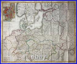
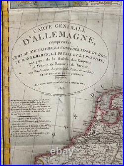
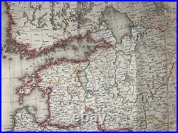
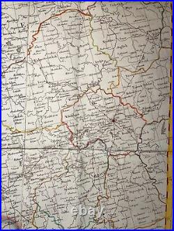
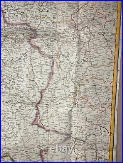
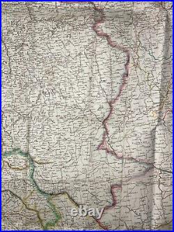
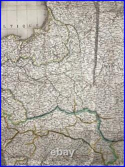
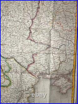
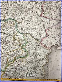
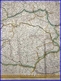
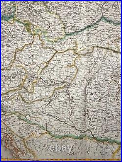
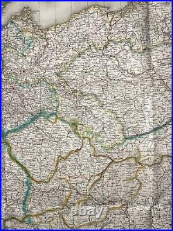
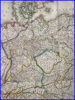
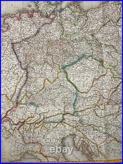
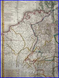
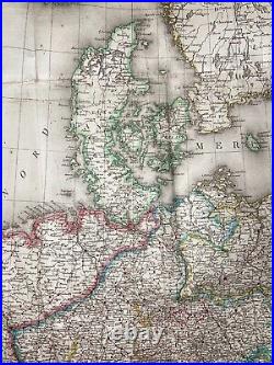
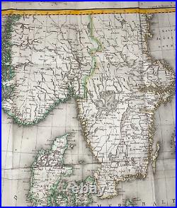


CARTE GENERALE D'ALLEMAGNE comprenant L'EMPIRE D'AUTRICHE, LA CONFEDERATION DU RHIN, LE DANNEMARCK, LA PRUSSE ET LA POLOGNE, une partie de la Suède, des Empires de France, de Russie et de Turquie, avec l'indication des principales Routes de ces Etats Et du Théatre de la Guerre. Déposée, A la Direction Générale de l'Imprimerie, 1813. Very large antique detailed map of the campaign of Napoleon in Europe from 1789 to 1813, copper engraved by E.
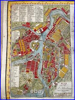
The map extends from Paris to Moscow. In left side, an inset nice plan of St Petersbourg. Under the title is written Cette carte présente dans le plus gros détail le tableau général du théâtre de la guerre du continent, depuis 1789, jusqu'à ce jour.
It includes also a note not found on other editions with the same title: "Pour l'intelligence de Guerre de 1812, on a souligné les noms des lieux où il y a eu quelqu' opération militaire, et marqué d'une étoile les quartiers Généraux" ("For the intelligence of the War of 1812, the names of places where there was some military operation, and marked with a star the headquarters"). 111 x 93 cm / 43,7 x 36,6 inches. A Certification of Authenticity can be issued on request. WE DON'T SELL LASER AND COPIES MAPS, ALL WE SELL IS ORIGINAL AND ANTIQUE.
Due to the age an type of paper, some imperfections are to be expected. Please examine the images provided carefully, and if you have any questions please ask and we will be happy to help you.
