Denmark Matheus Seutter 1730 Large Antique Engraved Map 18th Century
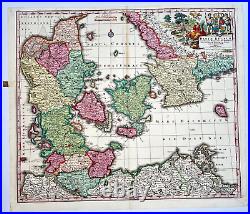
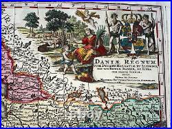
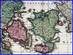
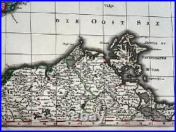
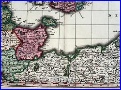
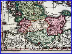
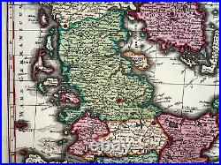
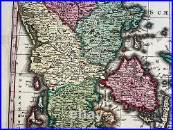
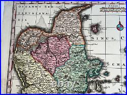
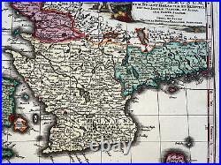

Daniae Regnum cum Ducatu Holsatiae et Slesvici, nec non Insulae Danicae, et Iutia cum Parte Scaniae.. The map depicts Denmark, Sleschwig-Holstein and southern Sweden with a lot of details. The title cartouche presents the Danish coat of arms flanked by two Danes and a scene representing the fruitful nature of the region.
Mattheus SEUTTER began his career as an apprentice under tutelage of JB Homann. Then, he left Homann to establish his own independent cartographic publishing firm in Augsburg. He was one of the most prolific publishers of his time and was honored by the German Emperor Charles VI, with the title of "Imperial Geographer". Size with margins : 53,2 x 62 cm / 20,7 x 24,4 inches. Well engraved, on strong paper.WE DON'T SELL LASER AND COPIES MAPS, ALL WE SELL IS ORIGINAL AND ANTIQUE. Due to the age an type, of paper, some imperfections are to be expected. Please examine the images provided carefully, and if you have any questions please ask and we will be happy to help you.
