CYPRUS 1642 WILLEM BLAEU LARGE ANTIQUE ENGRAVED MAP 17th CENTURY
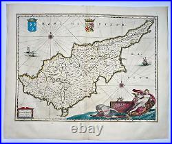
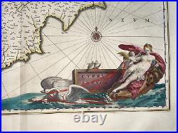
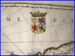
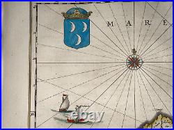
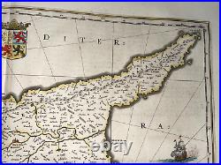
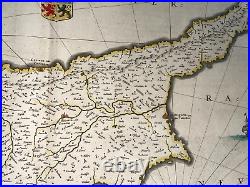
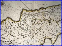
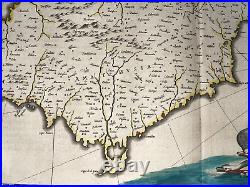
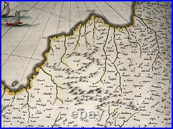
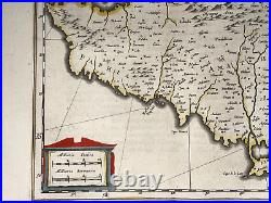
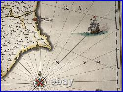
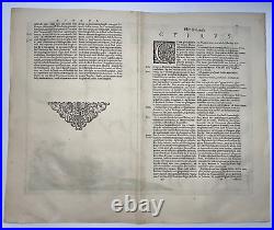

At top of the map, are two coats of arms: at center the arms of the House of the Lusignans, and at left the Turkish arms. The large cartouche at bottom right shows Aphrodite being drawn across the sea in a seashell chariot pulled by a pair of swans, while Cupid pierces her heart with an arrow. Size with margins : 58 x 47,5 cm / 22,8 x 18,5 inches. Edition : Amsterdam, from Atlas Novus, 1642, 17th century, Dutch edition. Condition : very good condition, old colors.
Blaeu family was the most important cartographer and geographer in 17th century. Willem Blaeu was the founder of the Blaeu cartography dynasty, the finest mapmakers of the Golden age of Dutch cartography. He studied astronomy with Tycho Brahe at Uranienborg, and moved to Amsterdam to establish a shop in 1605, close his contemporaries and rivals Johannes Janssonius and Jacob Colom. He produced globes at first.
The sons of Willem, Johan and Joan, joined him in the firm. They produced their first atlas together in 1630 the "Atlas Appendix".
Five years later, their produced their "Atlas Novus", edited in 4 languages. After the death of Willem, Joan expanded the Atlas Novus into the Atlas Major, the largest atlas of its time. This edition had between nine and twelve volumes, beautifully engraved and coloured.
In 1648, they produced a very large wall world map in 20 parts. And they continued to produce globes too.
We send maps by DHL Express. WE DON'T SELL LASER AND COPIES MAPS, ALL WE SELL IS ORIGINAL AND ANTIQUE. Due to the age an type of paper, some imperfections are to be expected.
Please examine the images provided carefully, and if you have any questions please ask and we will be happy to help you.