CORSICA FRANCE c. 1760 by PRUVOST UNUSUAL LARGE ANTIQUE MAP 18TH CENTURY
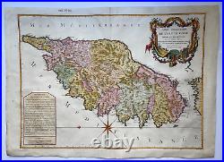
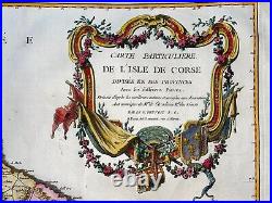
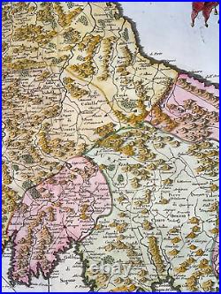
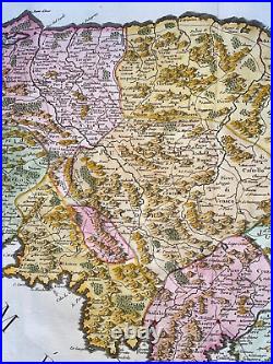
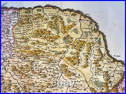
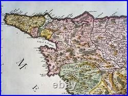
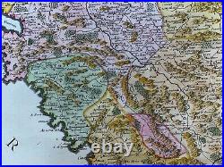
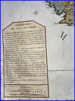
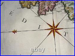


CARTE PARTICULIERE DE L'ISLE DE CORSE Divisée en Ses Provinces Avec ses différens Pieves. Dressée d'après les meilleurs auteurs et assujetie aux observations Astronomiques de Mrs de l'Accadémie Royale des Sciences.
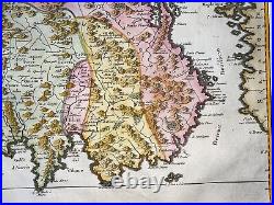
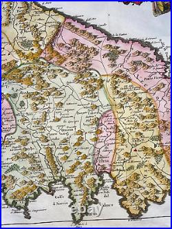
A Paris chés Daumont, rue S Martin. Nice and unusual very large antique copper engraved map of Corsica (France) dressed by Pruvost from a map of Jaillot published in 1738, and engraved by Dezauche. The map is embellished with a nice cartouche with flowers and coat of arms. Corsica is divided into 10 jurisdictions and 5 bishoprics, also divided into pieves or administrative divisions. The north is to the left of the map. At the bottom left, an inset with the description of Corsica, where it is said that it belongs to the Republic of Genoa. So we can dated this map before 1768, the date on which Genoa ceded Corsica to France. Size with margins : 77,4 x 56 cm / 30,3 x 22 inches. WE DON'T SELL LASER AND COPIES MAPS, ALL WE SELL IS ORIGINAL AND ANTIQUE. Due to the age an type of paper, some imperfections are to be expected. Please examine the images provided carefully, and if you have any questions please ask and we will be happy to help you.