CARIBBEAN c. 1750 ROBERT DE VAUGONDY LARGE ANTIQUE MAP 18TH CENTURY
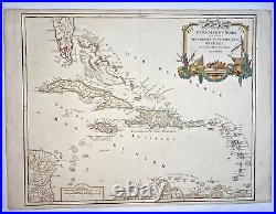
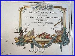
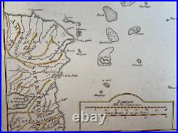
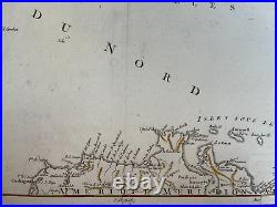
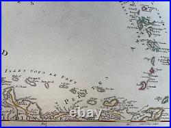
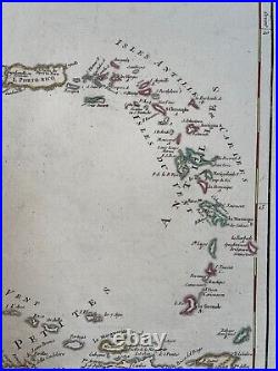
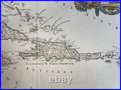
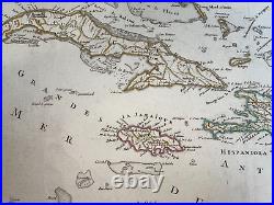
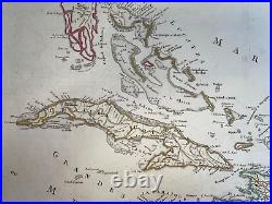



"PARTIE DE LA MER DU NORD, ou se trouvent LES GRANDES ET PETITES ISLES, ANTILLES, ET LES ISLES LUCAYES, Par le Sr ROBERT". Large antique copper engraved map of Caribbean.
From southern Florida and the Bahamas to the Lesser Antilles and the northern coast of South America. The map is engraved by Guillaume Delahaye. In 1757, Gilles and Didier Robert de Vaugondy published "The Atlas Universel", one of the most important atlases of the 18th century. To produce the atlas, the Vaugondy's integrated older sources with more modern surveyed maps.
In 1760, Didier Robert de Vaugondy was appointed geographer of the king Louis XV. Gilles often signed maps as "Robert, while Didier commonly signed his maps as "Robert de Vaugondy", or added "fils" or "filio after his name.
Size with margins : 68,5 x 51 cm / 26,5 x 20 inch. A Certification of Authenticity can be issued on request. View our Other Items For Sale.
WE DON'T SELL LASER AN. D COPIES MAPS, ALL WE SELL IS ORIGINAL AND ANTIQUE.
Due to the age an type of paper, some imperfections are to be expected. Please examine the images provided carefully, and if you have any questions please ask and we will be happy to help you.
