BRITISH ISLES c. 1740 HOMANN HRS LARGE ANTIQUE ENGRAVED MAP 18TH CENTURY
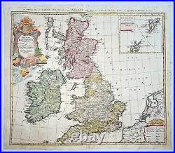
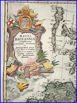
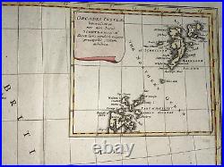
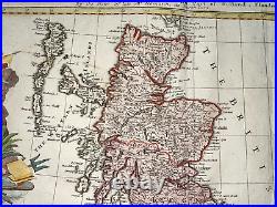
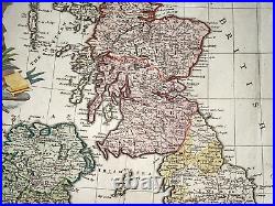
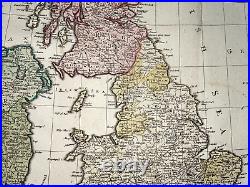
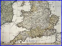
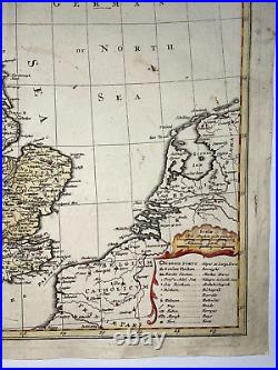
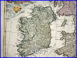


MAGNA BRITANNIA complectens Angliae, Scotiae et Hyberniae Regnin suas Prov. Large nice detailed antique copper engraved map of British Isles, by Homann Heirs. This map presents many details on provinces, towns, and counties, with the Orkney Islands included in an inset at upper right. A table at the lower right includes symbols for cities, market towns, bishoprics, roads, ferries and bogs, among other places of note.
The richly decorated cartouche is topped with the crest of Britain. The title in top of the map is in English. He founded his company in 1702.
In 1705, he became the Geograph of the Emperor Charles VI. In the same year, he was also Member of the Prussian Academy of Sciences in Berlin. They protected the authors in all scientific fields such as printers, copper engravers, map makers and publishers.In 1716 Homann published his "Grosser Atlas ueber die ganze Welt" (Grand Atlas of all the World). Some maps were drawned with the engraver Christoph Weigel the Elder. He was succeeded by the Homann Heirs company, which was in business until 1848.
Size with margins : 61 x 52 cm / 24 x 20,4 inches. WE DON'T SELL LASER AND COPIES MAPS, ALL WE SELL IS ORIGINAL AND ANTIQUE. Due to the age an type of paper, some imperfections are to be expected. Please examine the images provided carefully, and if you have any questions please ask and we will be happy to help you.