Blaeu / Pont Antique Map'Annandale' Solway Firth 17th Century Spanish Edition
Blaeu / Pont Antique Map'Annandale' Solway Firth 17th Century Spanish Edition

Blaeu / Pont Antique Map'Annandale' Solway Firth 17th Century Spanish Edition

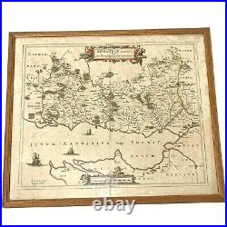
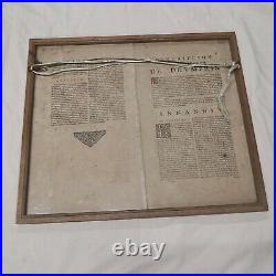
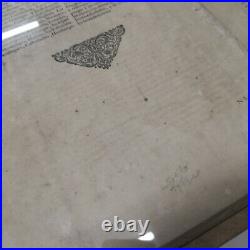
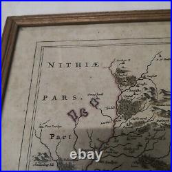
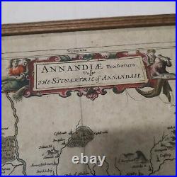
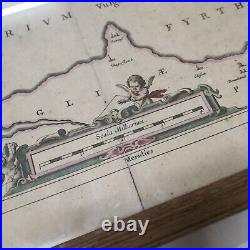
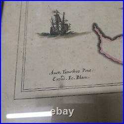
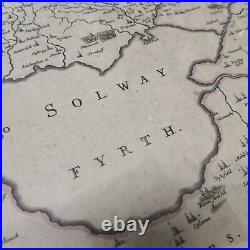
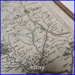
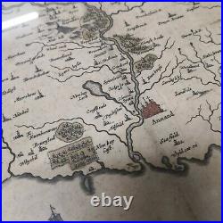
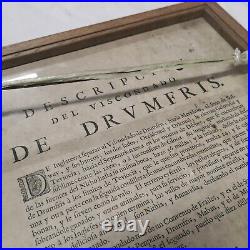
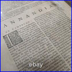
Blaeu / Pont Antique Map'Annandale' Solway Firth 17th Century - Spanish Edition. Map of Dumfries / Annerdale / Solway Fyrth. Condition: In good condition for age. However there are light marks, spots, small stains and other age related wear. Unfortunately the camera is washing the colours out a little and the paper is more yellow than in the photos.

Little washed out and some reflections. Map image - 55cm x 47cm. Frame - 59cm x 50cm.

3.3kgrams (scales are in 5g increments).


Blaeu / Pont Antique Map'Annandale' Solway Firth 17th Century Spanish Edition