Austria 1628 Gerard Mercator/jodocus Hondius Large Antique Map 17th Century
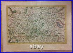
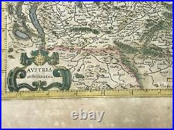
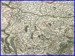
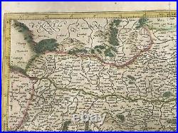
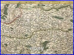
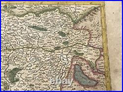
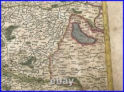
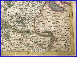
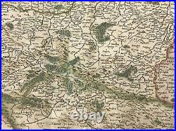

In lower right side of the map Amstelodami Sumptibus Henrici Hondij A. Edited by Jodocus Hondius, in 1628, in "Gerardi Mercatoris - Atlas sive Cosmographicae de Fabrica Mundi et Fabricati Figura". Size with margins : 41 x 57 cm / 16,1 x 22,4 inches. Amsterdam, 1628, XVIIe Century, French edition. Good condition, strong paper, old colors.
He is most renowned for creating the 1569 worl map based on a new projection which represented sailing courses of contant bearing (rhumb lines) as straight lines, an innovation that is still employed in nautical charts. Mercator was one of the pioneers of cartography and is widely considered the most notable figure of Netherlandish school of cartography in its golden age (approximately 1570s- 1670s). WE DON'T SELL LASER AND COPIES MAPS, ALL WE SELL IS ORIGINAL AND ANTIQUE. Due to the age an type of paper, some imperfections are to be expected.Please examine the images provided carefully, and if you have any questions please ask and we will be happy to help you.
