Asia 1719 Henri Chatelain Very Large Antique Map 18th Century
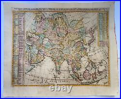
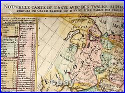
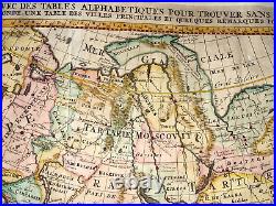
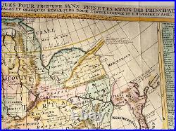
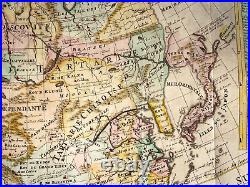
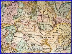
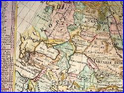
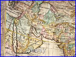
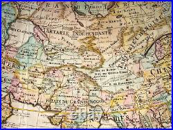
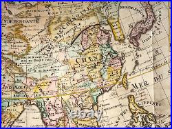
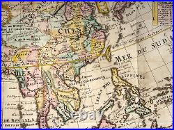
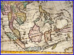
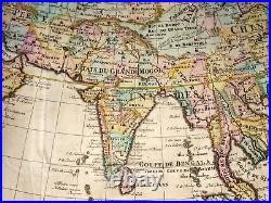
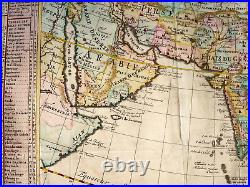
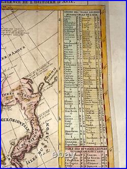
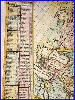


"NOUVELLE CARTE DE L'ASIE AVEC DES TABLES ALPHABETIQUES POUR TROUVER SANS PEINE LES ETATS DES PRINCIPAUX PRINCES DE CETTE PARTIE DU MONDE, UNE TABLE DES VILLES PRINCIPALES ET QUELQUES REMARQUES POUR L'INTELLIGENCE DE L'HISTOIRE D'ASIE". Very large and unusual antique copper engraved map.
Near Japan, we can see Terra Yeco which is in fact Hokkaido, and Terra de la Compagnie which is Kuril islands. With explanatory text each side of the map. His famous work is the "Atlas Historique", published in seven volumes. Originally published in Amsterdam between 1705 and 1720 by L'Honoré et Châtelain, L'Atlas Historique was corrected, increased and republished until 1739, the date of the fourth and last edition. This encyclopedic work explains the history and the genealogy of the continents, with the geography, cosmography, topography, heraldry, and ethnography.
The text is from Nicolas Gueudeville, a French geographer. Henri Chatelain represents the golden age of French cartography. Size with margins : 67 x 55 cm / 26,3 x 21,6 inches. WE DON'T SELL LASER AND COPIES MAPS, ALL WE SELL IS ORIGINAL AND ANTIQUE. Due to the age an type of paper, some imperfections are to be expected. Please examine the images provided carefully, and if you have any questions please ask and we will be happy to help you.