1850 issued Map- Champlain's Map of New France created in 1632 NYC NY and Beyond


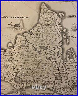
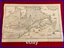
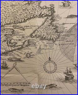
15 1/2 X 11 Excellent condition as pictured. Original Antique Map, not a reproduction. Mid-19th Century issue of Samuel de Champlain's 1632 large two-sheet map of eastern North America. This was drawn by David Vaughan, "engraved" by Augustus Tolle, and lithographed by R.
Pease in Albany, by order of Christopher Morgan, New York Secretary of State. The original Champlain map was published in Paris in 1632, and is a foundational map that deserves a host of accolades: it is the largest and most detailed of Champlain's maps; it is the first map to depict the entire Great Lakes network; it is the first delineation of present-day New York City on a printed map.
