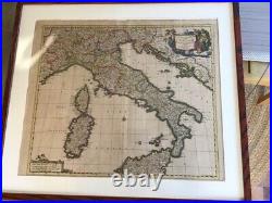
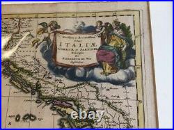
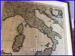
17th Century Italy Map Federic de Wit


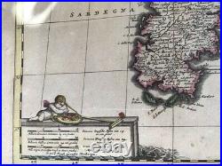
Federic (Frederik) de Wit 1690s map of Italy, Corsica, and Sardinia. Good condition, moderate toning of the paper, but print is sharp and colors bright.
Hand painted boundaries and legends. This is an unusual print of this map - the later versions have more embellishments. Undated, but printed around 1690.
Text in Latin, printed in Amsterdam. Appears to have been taken from his atlas.
