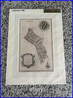
1760 London Map


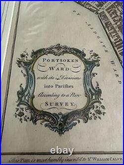
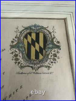
Genuine Antique Hand Colored Map. Antique map of Portsoken Ward, London, England. Shows a general overview of the area and notes points of interest. Features a decorative cartouche, compass rose, and The Arms of Sr. Good to very good overall antique condition with mild toning, wrinkling, and very minor foxing. Measures approximately 14.25" x 9" (H x W) to the neatline.
