1720 antique MAP of GERMANY 18th CENTURY Lower Saxony & North Rhine-Westphalia
1720 antique MAP of GERMANY 18th CENTURY Lower Saxony & North Rhine-Westphalia

1720 antique MAP of GERMANY 18th CENTURY Lower Saxony & North Rhine-Westphalia
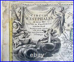
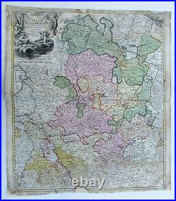
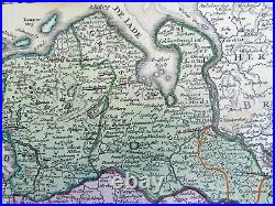
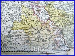
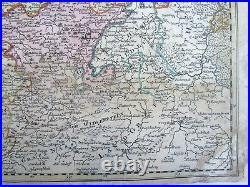
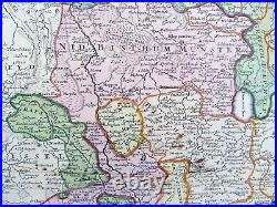
Circuli Westphaliae in omnes suos Status et Provincias. 18th century coloured map of Lower Saxony and North Rhine-Westphalia by by Johann Baptist Homann. Shows the area between Hamburg, Cologne, Oldenburg and Hanover.

Centred around Münster and Osnabrück. Beautiful title cartouche top left. Some wear, faded dampstains, small repairs at the margins ----------------------- The Homann family was the most important map publisher in Germany in the eighteenth century. Please see my other auctions Thank You. Powered by SixBit's eCommerce Solution.


1720 antique MAP of GERMANY 18th CENTURY Lower Saxony & North Rhine-Westphalia